GPS Surveying
Modern technology has greatly advances the tools which with objects
are surveyed. Precision GPS equipment is the latest resource to
be added to a surveyor’s set of tools. There are many tasks
in both land surveying and construction surveying for which GPS
is ideally suited, but it far from a do-it-all tool; total stations
did not make chains obsolete, and neither will GPS.
The accuracy of GPS equipment is not suitable for high precision
tasks when working at short ranges, such as locating anchor bolts;
a steel chain would likely be a better tool. Under ideal situations
the accuracy of GPS equipment can approach 5 millimeter, where
it is common for total station measurements to have a built in
error of only 2-3 millimeters; thus, the total station is a more
accurate instrument when working within the total station's maximum
range. When working outside of 200 feet, a total station is going
to be the most accurate instrument on the average construction
project. When working outside of the maximum range of the total
station, GPS equipment becomes the most accurate of the surveyor’s
tool. The GPS equipment will potentially maintain an accuracy
of 5 millimeters, even when performing measurements over the several
miles. GPS equipment’s level of accuracy at great ranges
is especially useful on extremely large construction projects,
such as an airport project including runways, or on highway construction
projects covering hundreds of miles.
Distance
being Surveyed |
Tool |
| less
than 100' |
Chain |
| 100-200' |
Chain
or Total Station |
200-1500' |
Total
Station |
greater
than 1500' |
GPS |
Surveying Tool Selection by Distance Being Surveyed
GPS equipment can also become the preferred tool in instances
where there is no line of sight between the points to be surveyed,
or a lot of data needs to be collected but level of accuracy of
the survey needed is not a high.
No Line of Sight
All surveying instruments to this point have required an unobstructed
view between the points to be surveyed. The instruments had to
be, except in the case of robotic total stations, optically aimed
at the target point. Additional techniques were required if no
line of sight existed between the points. In most cases additional
points were added in a path around the obstructing objects. GPS
surveying equipment does not require a line of sight between points;
all that is required is for each point to have a view of the sky.
With GPS equipment a baseline between two points can be establish
even if a mountain lies between them.
Long Ranges
Optical instruments have a limited range based on their magnification;
past a certain distance you can no longer accurately set your
aim at the desired target. Total stations are limited by the range
of the electronic distance measurement systems. On large scale
projects, such as highways or airports, these limitations require
the surveyor to set additional intermediary points to compensate
for the limited ranges. Under the right conditions, GPS equipment
can calculate baselines between points that are on opposite sides
of the United States or across an extremely large jobsite. In
order for GPS equipment to be able to calculate the base line
all that is needed is for the GPS receivers to be able to gather
information from the same set of satellites over the same period
of time.
Less Accuracy Required
There are many types of surveys that do not require the level
of precision obtainable by traditional surveying equipments, for
example: mapping a golf course, locating all of a city’s
fire hydrants, or cataloguing trees. Many of these types of surveys
usually are used to collect data for geographic information systems
(GIS). The advantage of GPS equipment for these types of surveys
is that the surveys can be conducted more efficiently. GPS equipment
can usually be operated by smaller crews than traditional instruments,
in most cases even by a single person, and the data can be collect
more quickly.
GPS Limitations
In addition to the accuracy of GPS equipment there are several
other factors that can limit the use of GPS equipment. Though
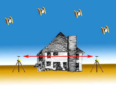
GPS does not require a line of sight between points, it does require
a line of sight to the satellites. GPS equipment will not work
indoors or under trees.

GPS will often not work in locations where much of the view of
the horizon is blocked, such as in the canyon created by tall
buildings in an urban environment.

Even if a point does have a clear view of the sky and horizon,
the number of satellites needed for surveying are not always available
in all locations at all times. The NAVSTAR constellation was designed
for navigation, which requires less available satellites than
higher precision applications such as surveying. When planning
surveying activities that will use GPS equipment it is important
to consult a satellite availability almanac to determine the best
time of day to conduct the survey.
Top of Page
Global Positioning Systems : Next >>
Types of GPS Surveys